RVDI is comprised of a team of design professionals offering land planning, civil engineering and land planning services to clients in the public and private sectors. Our strategic team approach ensures a collaborative effort to achieve the client’s goals and objectives while utilizing our unique expertise and experience. We have a proven track record of delivering innovative and cost effective solutions. From boundary and elevation identification to concept planning and through completion of their project, we have a highly skilled professional team that work together, using common sense and experience to best serve our clients.

RVDI has built a reputation and commitment to providing design excellence and outstanding client service. Our strategic leadership seeks to develop design solutions that meet the needs of all the project stakeholders.

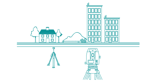
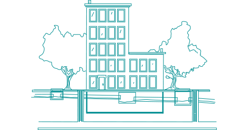
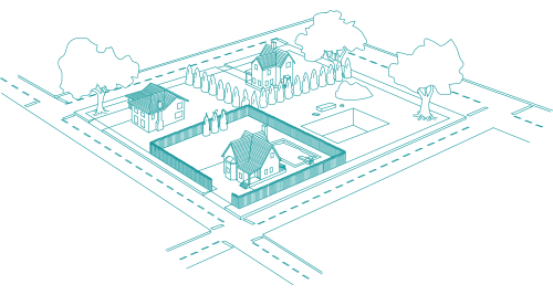
Our services range from residential lot surveys and boundary stake-outs through large commercial or municipal surveying and engineering projects. We provide construction surveys, topographic and control surveys, property surveys, surveys and engineering design of sanitary sewers, storm drains and roadways, site planning for shopping centers, golf courses, hospitals, marinas and subdivisions, ALTA/ACSM Land Title Surveys, hydrological studies and flood zone certification.

We work with Developers, Municipalities, Architects, Attorneys, Contractors and Property Owners to provide the following services:

  • ALTA/ACSM Surveys
  • Benchmarks
  • Building Height Calculations
  • Condominium Mapping
  • Construction Layout and Control Surveys
  • Easement Creation/Mapping
  • FEMA Elevation Certificates (Flood Insurance Certificates)
  • Flood Line Mapping
  • Foundation Location Surveys
  • Grade Plane Analysis
  • Green Space Calculation
  • Improvement Location/Final As-Built Surveys
  • Lot Line Revisions
  • Park Surveys
  • Property Surveys
  • Property/Boundary Line Staking
  • Right-of-Way Mapping
  • Shoreline Surveys
  • Subdivisions
  • Topographic Surveys
  • Wetland Location
  • Zoning Location (A-2) Surveys

engineering-teal

  • Applications to Municipal Land-Use Agencies
  • As-Built Certification of Construction
  • Drainage Design
  • Drainage Exemption Forms
  • Drainage Improvements
  • Drainage Summary Reports
  • Driveway Modifications
  • Grading Plans
  • Groundwater Analysis
  • Letter of Map Revision (FEMA)
  • Parking Lot Design
  • Sedimentation and Erosion Control Plans
  • Septic System Design
  • Sewer Plan and Profile
  • Sight Distance Plans
  • Construction Inspections

landplanning-teal

  • Preparation of Documents for Town Agency Review
  • Feasibility Studies of Zoning Compliance and Development Potential
  • Master Plans
  • Land Use Plans
  • Site Plans
  • Site Analysis and Selection
  • Design Guidelines
  • Development Strategies
  • Government Approvals